Outline Map of India | Free PDF Download for Exams
The Outline Map of India is a simplified representation of the country showing only its outer boundary and internal state borders without labels. It is widely used by students, teachers, competitive exam aspirants, and educators for map practice, geography learning, and exam preparation.


An outline map of India is a blank or unlabeled map that highlights:
The external boundaries of India
State and Union Territory boundaries
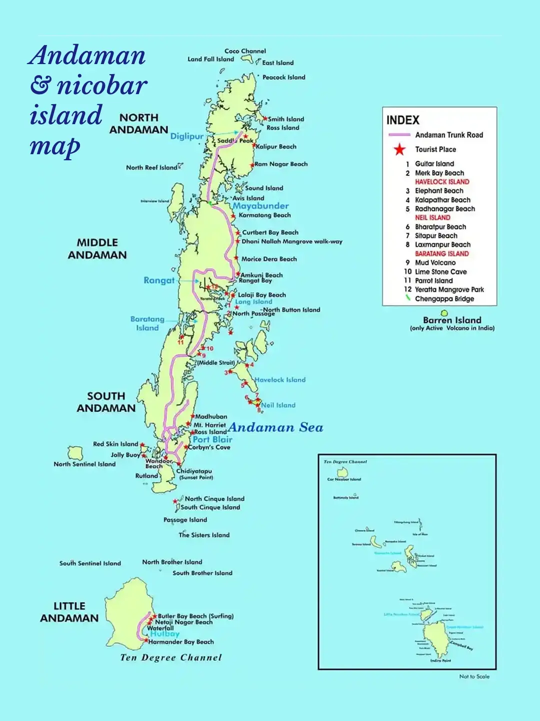
Coastlines and island groups (Andaman & Nicobar, Lakshadweep)
It does not include names, rivers, cities, or landmarks, making it ideal for practice and self-assessment.


Gajendra Singh Godara is an IIT Bombay graduate and a UPSC aspirant with 4 attempts, including multiple Prelims and Mains appearances. He specializes in Polity, Modern History, International Relations, and Economy. At PadhAI, Gajendra leverages his firsthand exam experience to simplify complex concepts, creating high-efficiency study materials that help aspirants save time and stay focused.
Suggested Maps