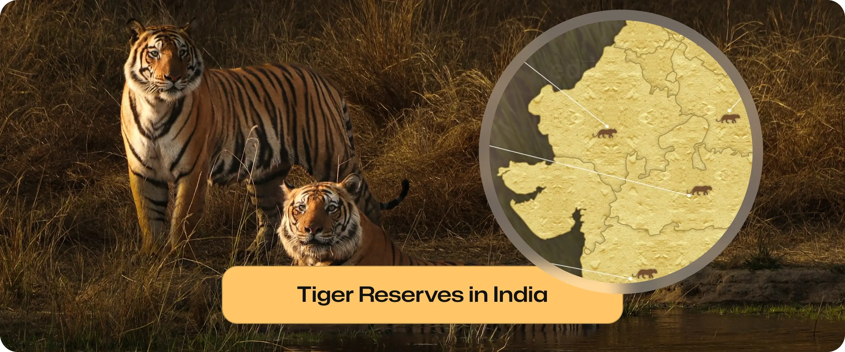
Tiger Reserves in India: State-wise List 2026 & Importance
India’s 58 Tiger Reserves are the ecological backbone of global tiger conservation. Managed under the Wildlife (Protection) Act, these landscapes protect 75% of the world's wild tigers.
Tiger Reserves in India: State-wise List 2026 & Importance
India’s 58 Tiger Reserves are the ecological backbone of global tiger conservation. Managed under the Wildlife (Protection) Act, these landscapes protect 75% of the world's wild tigers.
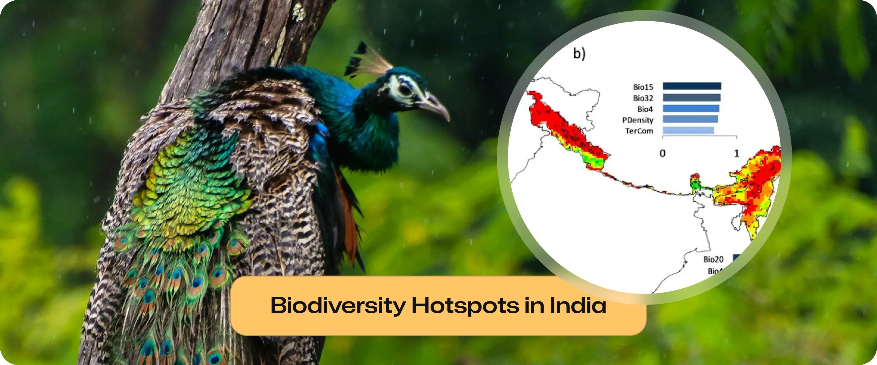
Biodiversity Hotspots in India: Map, Facts & Conservation
Biodiversity hotspots in India cover 4 regions: Himalaya, Indo-Burma, Western Ghats, Sundalands. They are home to 28,000+ endemic plants, 100+ endangered mammals, and 79 threatened birds, with protected areas and major conservation programs.
Biodiversity hotspots in India: Himalaya, Indo-Burma, Western Ghats, and Sundalands with maps, facts, endemic species, and conservation efforts.
Biodiversity Hotspots in India: Map, Facts & Conservation
Biodiversity hotspots in India cover 4 regions: Himalaya, Indo-Burma, Western Ghats, Sundalands. They are home to 28,000+ endemic plants, 100+ endangered mammals, and 79 threatened birds, with protected areas and major conservation programs.
Biodiversity hotspots in India: Himalaya, Indo-Burma, Western Ghats, and Sundalands with maps, facts, endemic species, and conservation efforts.
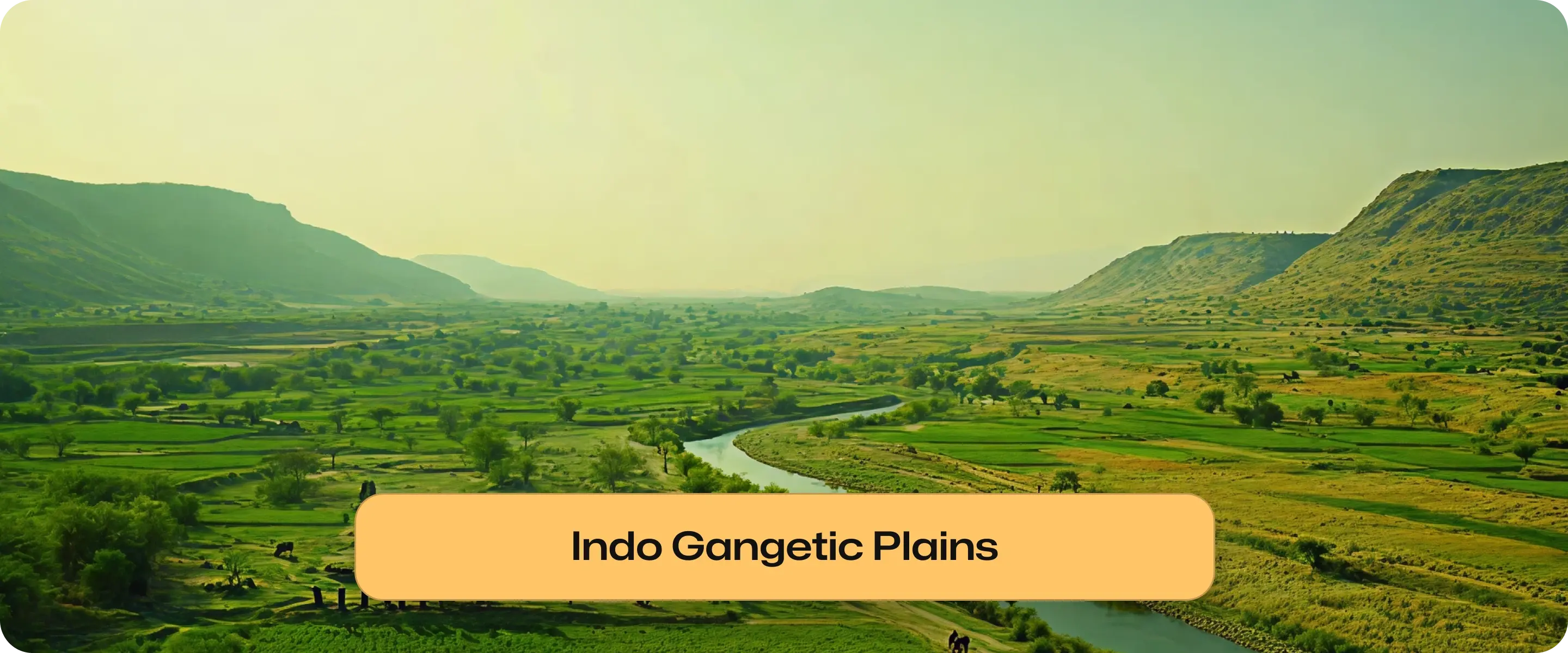
Indo-Gangetic Plains: Map, Formation, Divisions, Features
The Indo-Gangetic Plains, spanning northern India are fertile alluvial lands formed by the Indus, Ganga, and Brahmaputra rivers. Featuring Bhabar, Tarai, Bhangar, and Khadar belts, they support intensive agriculture, dense populations and are crucial for India’s economy and ecology.
Indo-Gangetic Plains shaped by Indus, Ganga & Brahmaputra; Bhabar, Tarai, Bhangar, and Khadar belts; vital for agriculture, population & rivers.
Indo-Gangetic Plains: Map, Formation, Divisions, Features
The Indo-Gangetic Plains, spanning northern India are fertile alluvial lands formed by the Indus, Ganga, and Brahmaputra rivers. Featuring Bhabar, Tarai, Bhangar, and Khadar belts, they support intensive agriculture, dense populations and are crucial for India’s economy and ecology.
Indo-Gangetic Plains shaped by Indus, Ganga & Brahmaputra; Bhabar, Tarai, Bhangar, and Khadar belts; vital for agriculture, population & rivers.
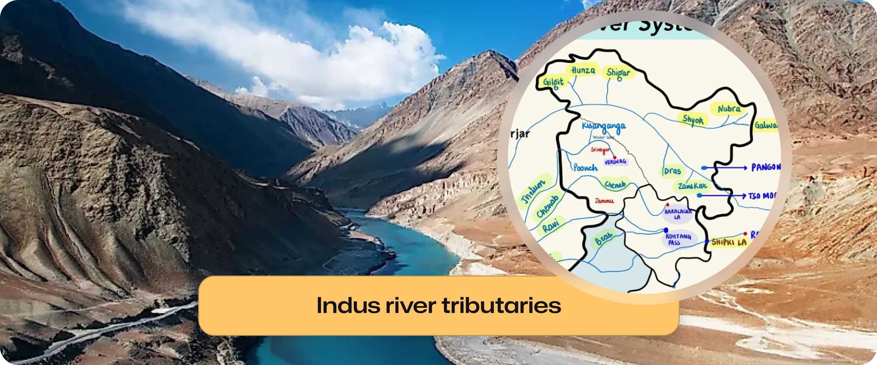
Indus River System: Origin, Tributaries, Features and Map
Indus River tributaries are classified into left and right bank rivers, such as Jhelum, Chenab, Ravi, Beas, Sutlej, Shyok, and Kabul. This guide explains their origin, course, and classification with a map.
Indus River tributaries list with left & right bank classification. Learn features of the Jhelum, Chenab, Ravi, Beas, Sutlej, Shyok, and Gilgit rivers with a map.
Indus River System: Origin, Tributaries, Features and Map
Indus River tributaries are classified into left and right bank rivers, such as Jhelum, Chenab, Ravi, Beas, Sutlej, Shyok, and Kabul. This guide explains their origin, course, and classification with a map.
Indus River tributaries list with left & right bank classification. Learn features of the Jhelum, Chenab, Ravi, Beas, Sutlej, Shyok, and Gilgit rivers with a map.
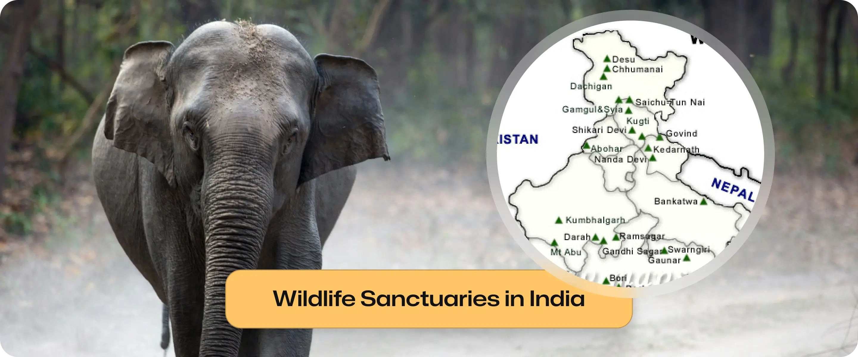
Wildlife Sanctuaries in India: List, Map, Features, Importance
India has 573 wildlife sanctuaries protecting many ecosystems. Explore the state-wise list, map, features, and conservation importance.
India has 573 wildlife sanctuaries (2025–26), maximum in Andaman & Nicobar Islands. The largest (Desert National Park), smallest (Goose Island), and newest additions like Tirthan & Satyawati.
Wildlife Sanctuaries in India: List, Map, Features, Importance
India has 573 wildlife sanctuaries protecting many ecosystems. Explore the state-wise list, map, features, and conservation importance.
India has 573 wildlife sanctuaries (2025–26), maximum in Andaman & Nicobar Islands. The largest (Desert National Park), smallest (Goose Island), and newest additions like Tirthan & Satyawati.